


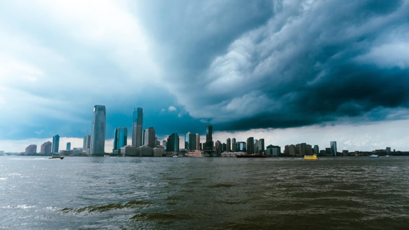

The New York City Emergency Management Department (NYCEM) has urged residents to prepare for heavy rain, severe thunderstorms and possible flash flooding from Tuesday, July 21, into the early hours of Wednesday, July 22.
According to the National Weather Service (NWS), periods of rain are expected to begin Tuesday morning, with the heaviest rainfall and strongest thunderstorms forecast between late afternoon and late evening. A slight risk of severe thunderstorms remains in place for the city, with officials warning that weather conditions could deteriorate rapidly.
Emergency Measures and Public Advisory
NYCEM has activated the city’s Flash Flood Emergency Plan and is coordinating with the National Weather Service. The National Weather Service has issued a Flood Watch from 8 am Tuesday until 2 am Wednesday.
New York Mayor Zohran Kwame Mamdani issued an advisory:
New Yorkers, tomorrow the city will experience multiple rounds of showers and thunderstorms, with the strongest storms and greatest risk in the late afternoon and evening.
Please exercise caution. Go inside if there’s thunder, heavy rain, or strong winds.
If you live in a…
— Mayor Zohran Kwame Mamdani (@NYCMayor) July 21, 2026
Timing of the Storms
Weather officials expect two main rounds of thunderstorms during the day. The first period, between 9 am and 2 pm, is expected to bring isolated to scattered thunderstorms with a relatively lower risk of severe weather and flooding. The second and more dangerous period, between 6 pm and 11 pm, is forecast to bring widespread thunderstorms, torrential rainfall and a higher risk of flash flooding and damaging winds. While showers may continue overnight, they are expected to clear before 6 am on Wednesday.
Hazards and Potential Impacts
Forecasters expect average rainfall of 1 to 2 inches, with localised totals of 3 to 4 inches possible in the heaviest downpours. Rainfall rates could reach 2 to 2.5 inches per hour, increasing the threat of isolated to scattered flash flooding. The greatest flood risk is forecast across north-east New Jersey and the New York City metropolitan area.
ALSO READ: ‘Ready To Intensify Trade Talks’: Mark Carney Reacts As US Vows Fresh 50% Tariff On Canadian Goods
Strong thunderstorms may produce damaging wind gusts of 60 to 70 mph, capable of bringing down trees, damaging power lines and causing power outages. Isolated tornadoes are also possible, particularly across north-east New Jersey, New York City, Nassau County and the Lower Hudson Valley.
Essential Business Intelligence,
Sharp Market Insights,
Practical Personal Finance Advice, Daily Fuel, Gold and Silver Prices and Latest Stories — On NDTV Profit.