


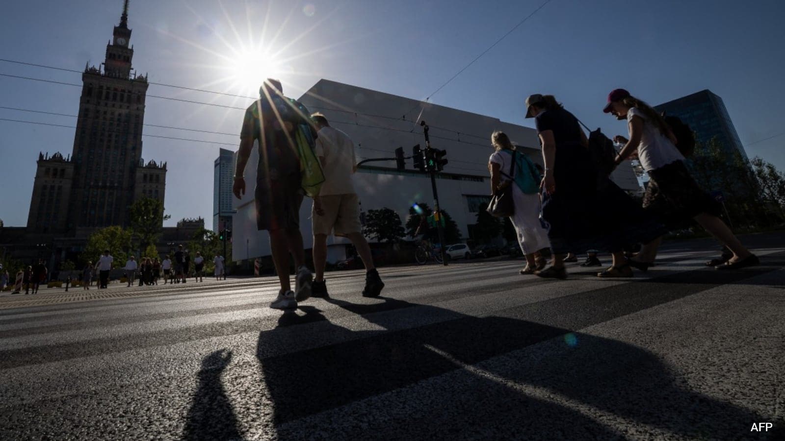
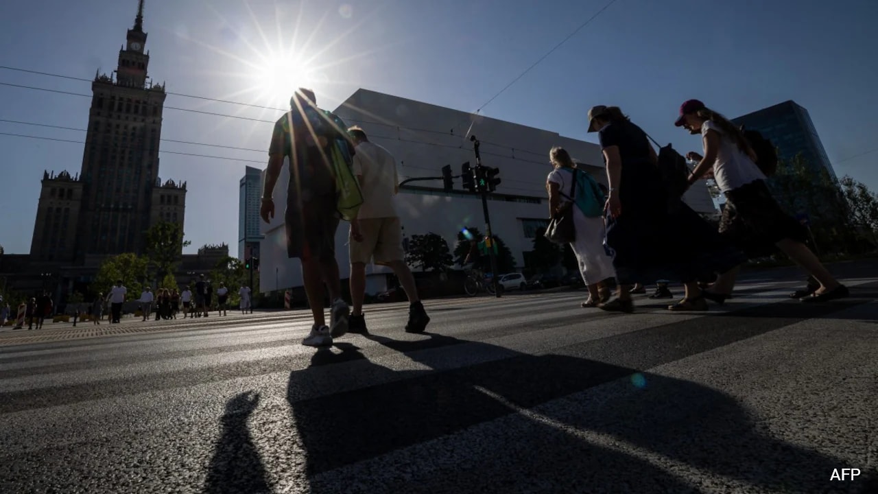
With 10,000 deaths linked to a late-June heatwave, Europe is witnessing a summer of unprecedented climate realities. The continent, widely regarded as the world’s fastest-warming region, has been battered by an intense “heat dome” that has trapped scorching temperatures over large areas. Europe is facing an urgent question: How do we live, move, and survive in cities that are actively overheating?
The answer may lie in a German digital tool developed by the non-profit organisation Heidelberg Institute for Geoinformation Technology (HeiGIT). Designed to transform daily commutes, the app calculates the coolest, most shaded path through a city, allowing citizens to avoid direct sun exposure.
What started as a region-specific research project is now evolving into a large-scale blueprint for climate-adapted mobility. The app currently offers its routing service in more than 80 major German cities and continues to expand.
The Algorithm That Steers People Away From Heat
When the sun shines intensely, open spaces can quickly turn into heat traps. Pedestrians often cross to the shaded side of the street or take a longer route through a park to avoid direct sunlight. The app mimics this behaviour by using high-resolution shadow data to guide people through shaded passages and away from sun-exposed roads.
Julian Psotta, Product Owner for Technical Innovation at HeiGIT, says, “What started as a research question in Heidelberg has now grown into an operational heat-avoiding routing application. We are looking forward to fine-tuning it to the individual needs of different cities and building climate-adapted mobility based on their data.”
Through heat-avoiding routing, the app helps municipalities understand their heat risks and respond to them in a targeted manner. But what has created the need for such a tool?
The past three years have been the hottest ever recorded globally. Adapting to climate change is no longer a future concern but a public health challenge. Many cities are already developing adaptation strategies, yet heat influences travel in ways that are often invisible to planners, such as the routes people choose or avoid because certain paths are constantly exposed to the sun. According to the HEAL app team, heat-avoiding routing gives city administrations a tool to identify where heat stress is most severe.
How The App Finds The Coolest Route
The app launched its first version in Heidelberg in the summer of 2024. Today, the routing engine runs on openrouteservice (HeiGIT’s open-source routing platform) and uses OpenStreetMap data as its underlying road network. A custom Solar Index helps the algorithm avoid hot, sun-baked roads and instead choose shady, tree-lined routes.
Because the sun’s position changes constantly, the app is dynamic as well. It offers pedestrians different routes depending on the time of day. For example, a commuter walking from Worms’ main train station to the Rhine promenade will receive different route suggestions depending on when they open the app:
- In the morning: The app suggests taking Wilhelm-Leuschner Street, then walking along Martinsgasse and Judengasse to maximise morning shade.
- In the afternoon: As the sun shifts, the coolest route changes entirely, directing pedestrians through Goethe Street.
- The regular route: The slightly shorter, traditional route via Siegfried Street and Berliner Ring is actively bypassed by the algorithm because of its high sun exposure.
The creators say the aim is to make the consequences of urban heat on daily life visible and measurable.
A Wake-Up Call for City Planners
Heat shapes travel in ways that are often invisible to planners, such as the specific routes people choose or avoid because certain roads are constantly exposed to the sun.
Lisa Shkredova, Public Relations Manager at HeiGIT, says, “When you try to create multiple routes throughout the city and realise that there is very little shade along certain paths, it should be a signal to city administrations to implement targeted measures. That was the overarching idea behind it.”
The app’s potential for urban transformation has also caught the attention of climate adaptation experts. Marco Elischer, a former climate adaptation officer for the city of Worms, which adopted the app, sees the project as a valuable data source for future infrastructure planning.
Having helped implement the app himself, Elischer underscores its importance. He says, “For city planning, the tool can help prioritise highly exposed streets that lack accessible shaded alternatives for adaptation measures such as tree-planting campaigns.”
How Heatwaves Are Reshaping Daily Life
The growing need for apps like this reflects how people’s relationship with the outdoors is changing. Summers are no longer simply a time for recreation; they have become seasons that must be actively managed.
Shkredova reflects on how heat has changed her daily routine. “My whole daily commute has changed a lot. On a hot day, I might take public transport instead of cycling. In general, I spend much more time indoors and try to go out only when necessary.”
Looking back at previous summers, she says, “Ten years ago, I looked forward to summer more and enjoyed being active outdoors. When another heatwave hits now, I don’t even exercise at home and often have trouble sleeping when temperatures don’t cool down.”
From Germany To The World
Now that the application covers all 16 federal states in Germany, the team hopes to expand globally. However, taking a climate tool worldwide requires building trust with local partners first.
Shkredova explains, “Whenever we expand into a new area, it is very important to have local partners who can validate the data. That’s why we started small and only later expanded to multiple cities across Germany.”
The goal is to take this technology to regions that need it most. As Shkredova points out, “We are now trying to scale the tool to other European cities and exploring the possibility of making it available worldwide. It could also be useful for India and Indian communities.”