


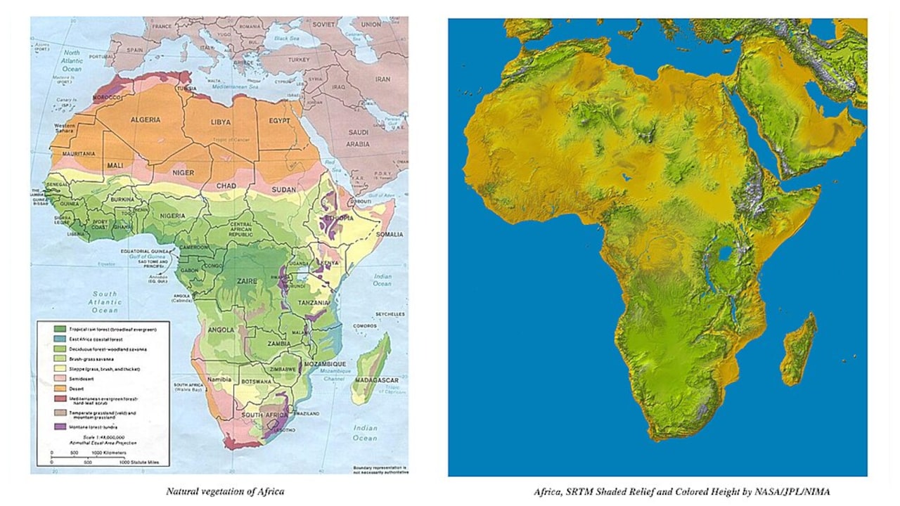
The United Nations General Assembly has backed a move to promote a new world map that gives a more accurate picture of Africa’s size, challenging the long-used Mercator projection.
The non-binding “Correct the Map” resolution, sponsored by Togo and backed by members of the African Union, was overwhelmingly approved on September 4, with 164 countries voting in favour. The United States was the only country to vote against it, while six countries – Serbia, Estonia, Georgia, Lithuania, Moldova and Ukraine- abstained.
ALSO READ: Trump Presses Fed for Rate Cut, Citing Strong August Job Growth Report
Although the resolution is non-binding, it calls for greater use of maps that provide a more accurate representation of the size and proportions of continents. Supporters see the move as a symbolic step towards correcting long-standing distortions in the way the world is visually represented.
The debate centres on the Mercator projection, a mapping system developed in the 16th century and widely used in classrooms, navigation and other applications. While the projection preserves directions and angles effectively, it significantly exaggerates the size of landmasses located farther from the Equator.
As a result, countries and regions at the northern and southern edges of the world can appear far larger than they really are. Africa, for example, can look similar in size to Greenland on some Mercator maps, even though Africa is roughly 14 times larger, according to media reports.
Supporters of changing the map argue that these distortions can shape how people view the relative size and importance of different parts of the world. They say a more accurate map would give people a better sense of Africa’s actual size.
The proposed approach seeks to improve geographical accuracy not only for Africa but also for other landmasses whose dimensions are distorted by conventional map projections.
The UN vote does not immediately replace every existing world map, given the non-binding nature of the resolution. However, supporters say the decision could encourage governments, educational institutions and international organisations to reconsider how maps are produced and displayed.
ALSO READ: Delhi Rain Alert: Flash Flood Risk Over Next 24 Hours, IGI Airport Among Areas Flagged
The vote marks a notable international effort to address the geographical and representational limitations of traditional world maps.
Essential Business Intelligence,
Sharp Market Insights,
Practical Personal Finance Advice, Daily Fuel, Gold and Silver Prices and Latest Stories — On NDTV Profit.